
Satellites Can See Landfill Methane Now. Detection Is Not the Same as Repair.
Orbital spectrometers have found large landfill methane plumes that operators reported as far smaller. The measurement gap is now well documented; the enforcement and engineering response is not.
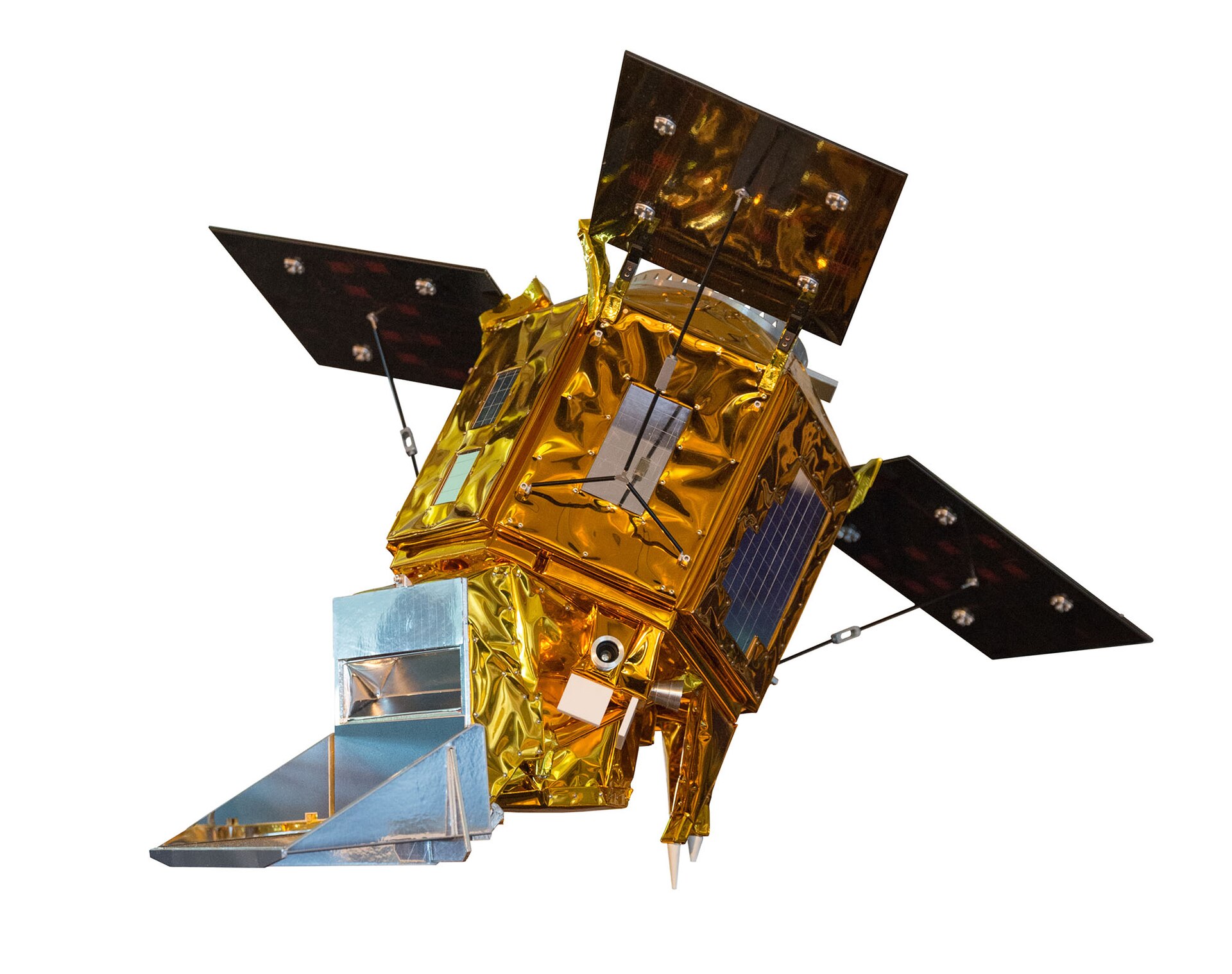
Methane absorbs infrared light at specific wavelengths near 2.3 micrometres. Point a spectrometer at the ground from orbit and you can measure how much of that light is missing along the path, which gives you a column concentration. Do it repeatedly and you can locate and quantify a plume.
Two kinds of instrument
Wide-swath mappers like TROPOMI cover the entire planet daily at kilometres-per-pixel resolution. They find regions with elevated methane but usually cannot attribute a plume to a specific site.
Targeted high-resolution imagers — GHGSat, EMIT, Carbon Mapper's instruments — see tens of metres per pixel and can attribute a plume to one landfill cell, but only where and when they are tasked to look.
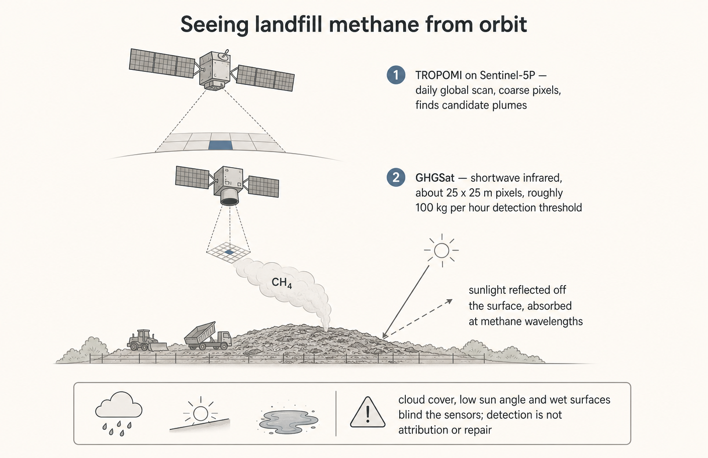
Used together, the wide instrument screens and the narrow one confirms. That two-stage architecture is what made site-level landfill attribution possible in the last few years.
What the surveys found
Repeated studies have found landfill emissions substantially above what inventory methods reported — in several documented cases by factors of two to six. Inventories are built from waste-in-place models with assumed gas generation curves and assumed capture efficiency. Satellites measure what leaves the surface.
Where the methane escapes
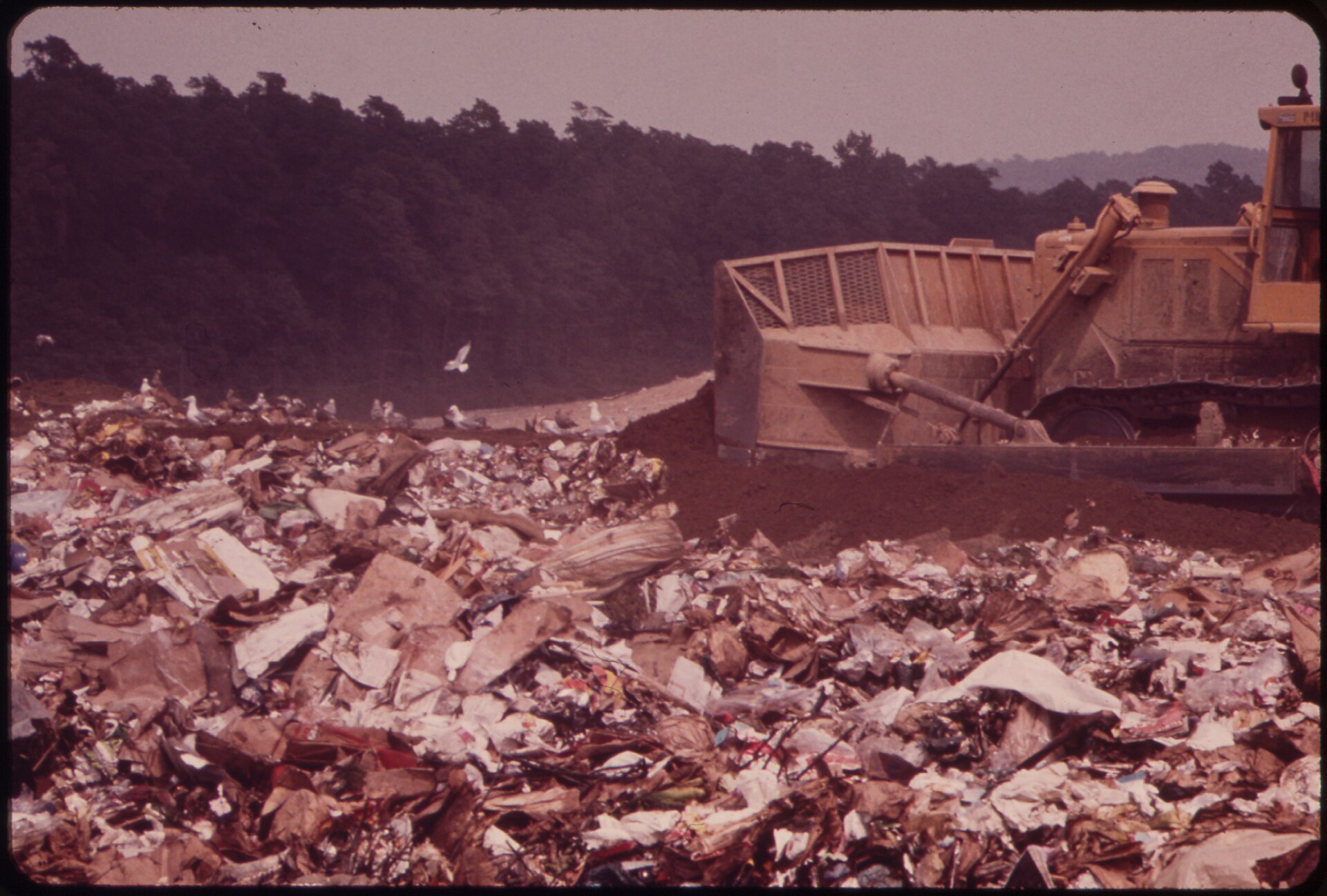
Gas capture systems are engineered to recover the majority of generated methane, and well-run sites do. The losses are concentrated in specific, physical places: the working face before daily cover goes on, cracks and settlement fissures in the cap, leachate wells and condensate traps, and the interval before a newly filled cell gets its permanent cap and wells.
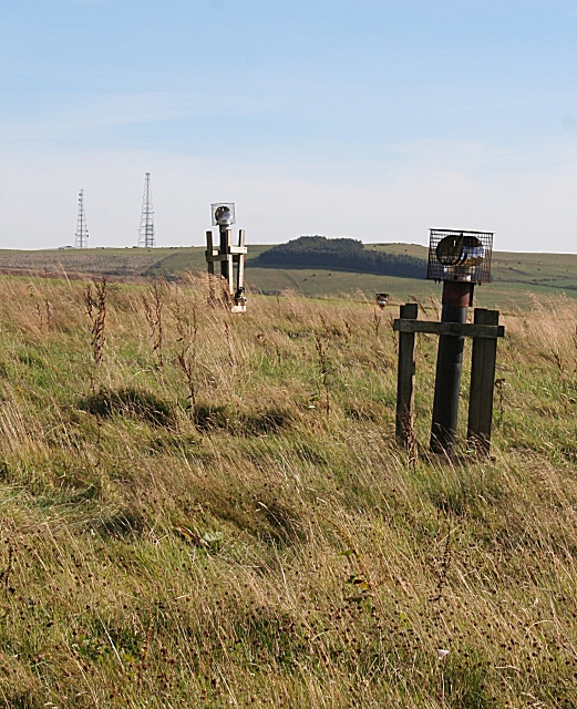
The useful thing about that list is that every item is fixable with maintenance rather than capital: tighter cover discipline, faster cap repair, better vacuum balancing, sealed condensate handling.
What satellites still cannot do
They cannot see through cloud. They struggle over water and over surfaces with variable reflectance. They have a detection floor — typically hundreds of kilograms per hour for wide instruments — below which real emissions are invisible, and a large number of moderate emitters can sum to more than one visible super-emitter. They give a snapshot, not a continuous record, so converting a plume observation into an annual total requires assumptions about how often the site emits that way.
Regulatory frameworks are only beginning to accept remote-sensing data as evidence. Until an observation triggers a required inspection and a fix within a defined window, better detection produces better statistics rather than less methane.
References and image credits›
- 01UNEP International Methane Emissions Observatory
- 02Maasakkers et al., satellite quantification of landfill methane, Science Advances
Photo via Wikimedia Commons, CC BY 3.0 · Photo: U.S. National Archives, public domain · Photo: Anne Burgess, CC BY-SA 2.0